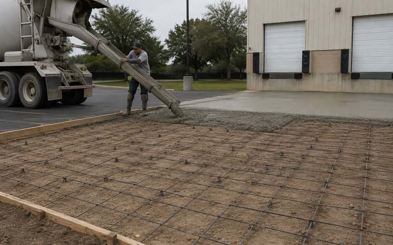
Georgetown Elite Concrete works as a concrete contractor in Pflugerville, pouring driveways, slabs, patios, walks and commercial flatwork and taking on repair, leveling and resurfacing of concrete that is already in the ground. Twenty years and more of concrete across this region sits behind that work, and the people who assess a site are the same ones who place the concrete on it.
The question that shapes a job here more than any other is where the ground sits relative to the flood mapping, and the honest headline is that most of it sits comfortably outside. A 241-point sample across the city returns 85.5 percent in Zone X, the designation for an area of minimal flood hazard, with 13.3 percent inside a FEMA Special Flood Hazard Area and a further 1.2 percent in shaded Zone X.
So this is not a city with a flooding problem; it is a city where a minority of ground carries mapped constraints that change how flatwork is sited, graded and drained. Those constraints concentrate along the creek bottoms rather than spreading evenly, which is exactly why the question has to be asked per site rather than answered per city. We establish the position before designing anything.
What the Flood Mapping Actually Says Here
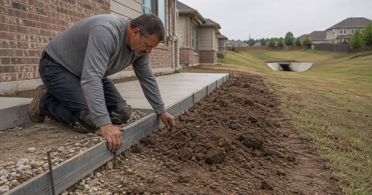
Most of the City Is an Area of Minimal Hazard
Five points in six across the sample return Zone X, area of minimal flood hazard, which is the ordinary condition for property in this city. On that ground the flood mapping is simply not the governing constraint on a driveway or a patio, and the design questions revert to soil, drainage and use like anywhere else.
That is worth stating plainly because the opposite impression circulates easily. A city with visible creek corridors acquires a reputation that the mapping does not support, and an owner who believes their property carries a constraint it does not can spend money solving a problem they never had.
Shaded Zone X, the Sliver Nobody Reads
A further 1.2 percent of sampled points fall in shaded Zone X, which is not a Special Flood Hazard Area but does denote the lower-probability hazard band. It sits between the minimal-hazard designation and the mapped high-hazard zones, and it is routinely skipped over because it is neither of the two things people look for.
For flatwork it rarely changes what is permissible, but it does change what is sensible. Where a site falls in that band we treat finished levels and the route water takes off the slab as design decisions with a reason behind them rather than as details settled on the day by whoever is running the screed.
Why a Citywide Answer Is the Wrong Answer
The distribution is uneven rather than gradual, so proximity is a poor guide. Two properties on the same street can sit differently relative to the mapped boundaries, and neither the age of a neighborhood nor the look of the ground reliably predicts which side of a line a particular site falls on.
That is why we do not offer an opinion on a specific property’s flood status, which is a determination that comes from the official mapping rather than from a contractor’s judgment. What we do is establish the position from the mapping before design, so the constraint is known while decisions can still respond to it.
Looking for concrete-contractor closer to Taylor? See Taylor Concrete-Contractor.
Special Flood Hazard Areas and the Floodway
Zone AE and Zone A
Within the Special Flood Hazard Area the sample splits into 5.8 percent Zone AE and 4.6 percent Zone A, and the practical difference between them is information. Zone AE carries determined base flood elevations, which gives a designer a number to work to; Zone A is mapped without them, so establishing the relevant elevation becomes part of the work rather than something to look up.
For concrete that difference shows up in how much can be settled in advance. On ground with published elevations the levels question is arithmetic, and where they are absent it takes survey work and, on anything substantial, engineering input before a slab level is fixed.
Inside the Regulatory Floodway
The strictest category in the sample is the regulatory floodway, at 2.9 percent of points. The floodway is the channel and the adjacent land reserved to carry flood flows, so it is treated far more restrictively than the wider hazard area around it, and what may be placed there is correspondingly limited.
Roughly one point in thirty-four is a small share of the city and a very significant fact for the properties concerned. Where a project touches that ground, the sequence starts with what is permissible at all rather than with what a slab should be built from, and we say so early rather than after a design exists.
Verifying a Site Instead of Assuming One
The verification is not onerous and it belongs at the front of the job. Checking the official mapping against a specific site takes very little time, and it is the only basis on which the rest of the design can be settled with any confidence.
Doing it late is what costs money. A driveway designed, priced and scheduled on an assumption that turns out wrong has to be redesigned, and the constraint discovered at that point governs anyway, so the only thing gained by leaving it is a delay.
Bottomland Soils Along the Creek Corridors
Tinn Clay, With Flooding in Its Published Name
The southeast sample point returns Tinn clay, 0 to 1 percent slopes, frequently flooded, and that phrase is part of the published map unit name rather than a characterization anyone added. It covers 4.6 percent of sampled points, concentrated along the creek bottoms where you would expect a bottomland soil to be.
A soil surveyor putting those words into a unit name is describing a landform position. For anyone placing concrete it is a useful shorthand, because it identifies ground where the water table, the drainage and the seasonal condition of the subgrade all need thinking about rather than assuming.
What a Deep Vertisol Does Under a Slab
Tinn carries a plasticity index of 41 and linear extensibility of 9.3 to 10.0 percent, with no restrictive layer to 204 centimeters. That combination describes a deep, genuinely mobile clay: there is no rock underneath to arrest movement, and the material moves a real amount as its moisture changes.
Houston Black, the dominant soil across the wider city at 49.8 percent of sampled points, behaves similarly and drains at a saturated hydraulic conductivity of 0.21 micrometers per second. Slow drainage and seasonal movement together mean the moisture condition of the subgrade at the time of placing is a decision rather than an accident.
Hydrologic Soil Group D and Water That Sits
Hydrologic soil group D covers 93.4 percent of sampled points, with C at 5.8 percent and B at 0.8 percent. In plain terms, whatever the subgrade is across nearly all of this city, water does not readily go down into it and therefore stays on top of it.
That single fact drives more flatwork decisions here than the flood mapping does, because it applies almost everywhere rather than to a minority of sites. Every added slab is a surface that sheds essentially all the water landing on it onto ground that will not absorb much of it either.
Grading and Fall on Ground That Has Little
Positive Drainage Where Slopes Are Slight
On 0 to 1 percent ground, fall has to be created deliberately and protected through construction, because there is almost none to inherit. Small errors matter proportionally more: a fall that would be lost in the noise on a sloping site is the whole of the fall on a flat one.
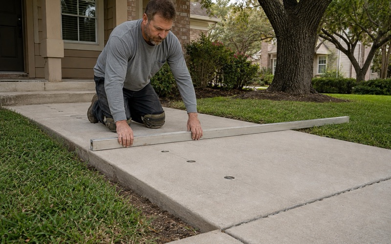
We set levels from the building threshold outward and hold them with instruments rather than by eye, and we check them again before the pour. On flat ground a slab that reads level to the eye can easily be running the wrong way, and that is not correctable afterwards without breaking it out.
Where the Water Goes After It Leaves the Slab
Directing water off a surface only solves half the problem, since it then has to be received somewhere. On soils that take water slowly, discharging a new driveway or patio onto adjacent ground frequently means relocating a puddle rather than removing it, and sometimes means delivering it to a neighbor.
So we work out the destination as part of the design rather than treating it as somebody else’s question. That may mean falls directed to a specific point, a channel or a drain, and it always means knowing where the water ends up before the forms go up.
Sequencing Work Around Wet Ground
On slow-draining clay the condition of the subgrade at placing is a scheduling question as much as a technical one. Working a saturated subgrade damages its structure, and concrete placed on a subgrade in poor condition inherits that condition for its whole life.
Pflugerville sits about 18 miles north of Austin in Travis County and was first incorporated in July 1965, and much of its flatwork sits on the deep clays described above. We build the sequence around getting the ground right rather than around the earliest date a truck could be booked, because the second one is easy to move and the first is not.
- 20+ Years in Georgetown
- Permits Pulled & Inspections Booked
- Free Written Estimates